
Interactive 360° Tours
Navigable interior experiences are delivered through a direct web link for easy access, sharing, and remote review.
Aerial imaging portfolio
These portfolio examples show the angles, movement, and documentation style ConstructView can provide.
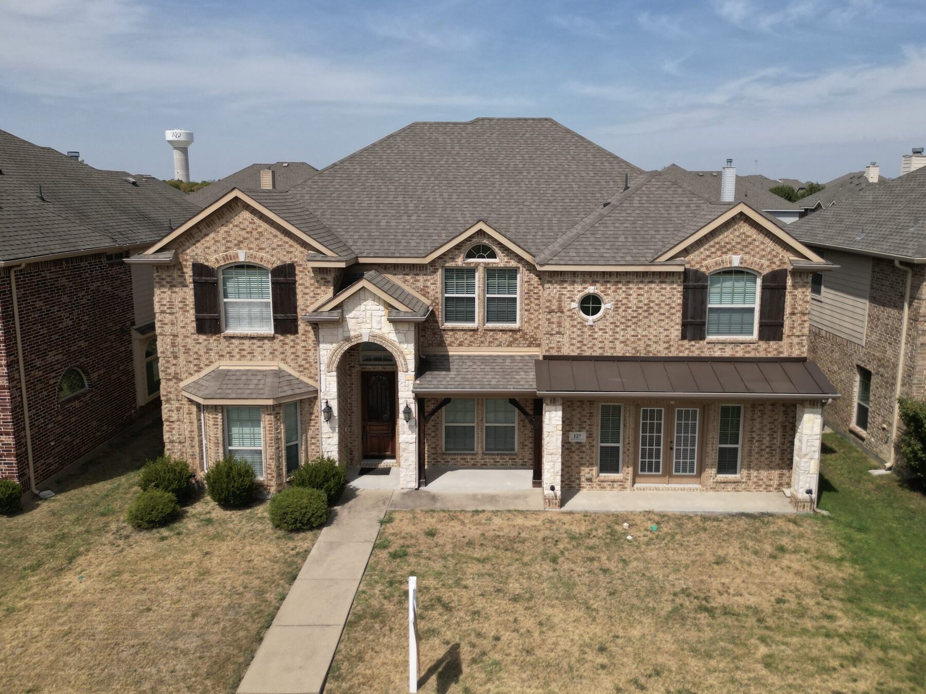
Aerial photography
The set demonstrates approach, angled, elevated, contextual, roof, and progress-documentation views. These are independently produced portfolio examples, not commissioned client work.
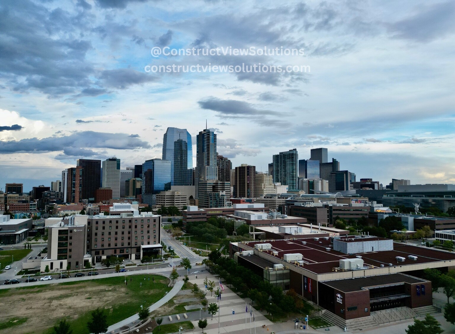
A broad city view showing commercial building density, rooflines, streets, and surrounding context.
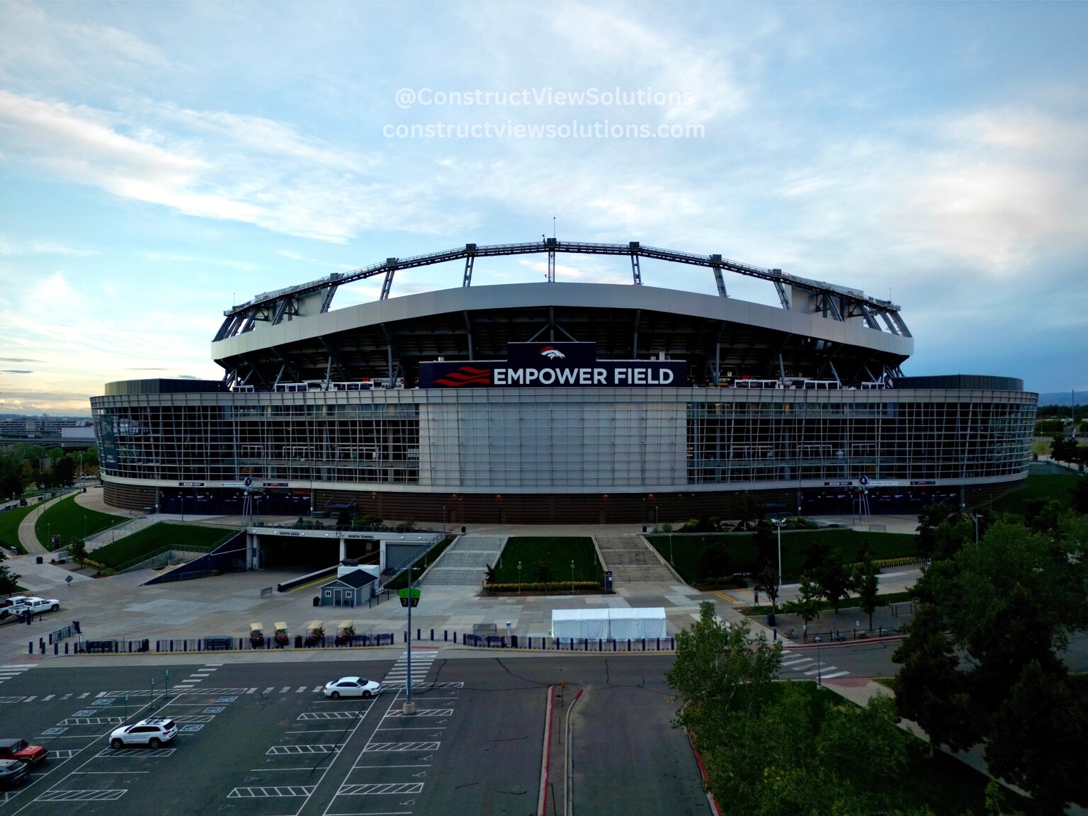
A centered architectural view showing the venue exterior, entrances, parking, and surrounding access routes.
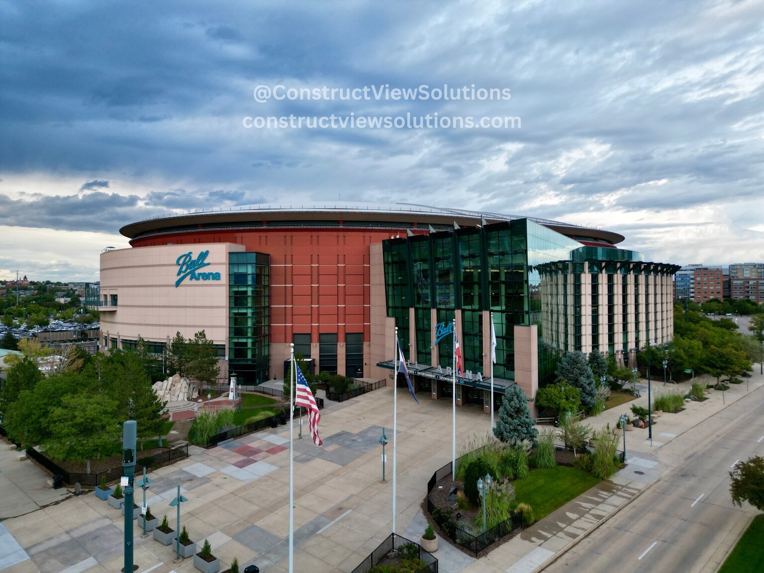
An angled exterior view that captures building form, entrances, public space, and adjacent streets.
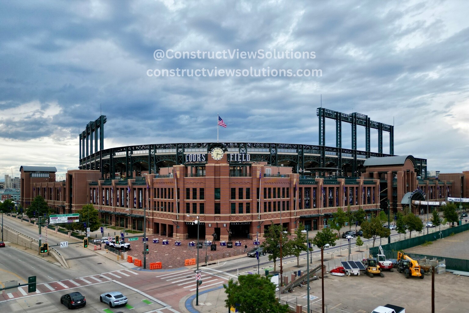
A wide site perspective showing a major venue within its surrounding streets, public space, and urban setting.
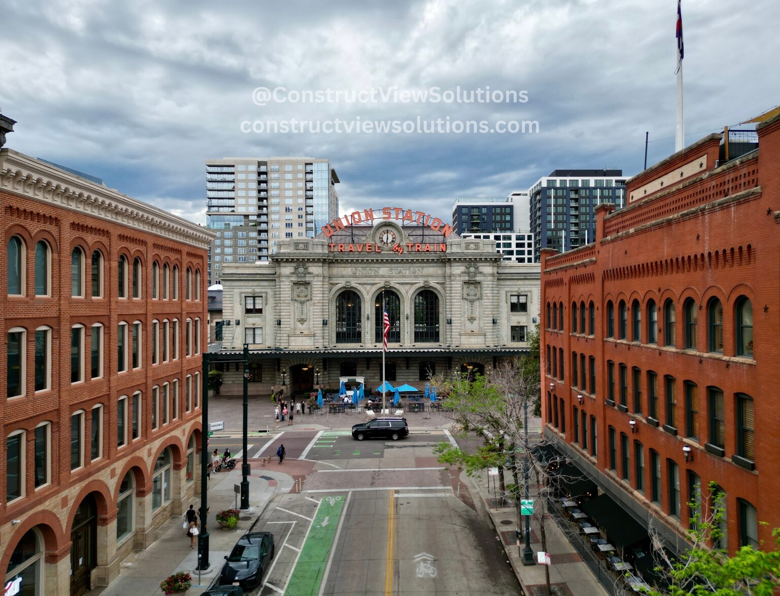
A contextual view that frames a landmark-style property between adjacent buildings and active streets.
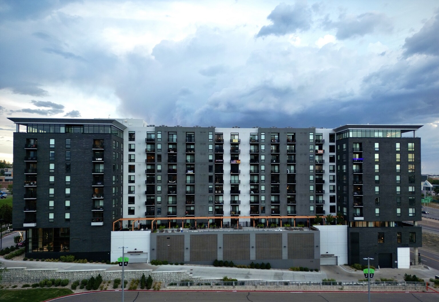
A straight-on elevation that documents the building facade, balconies, roofline, and immediate site context.
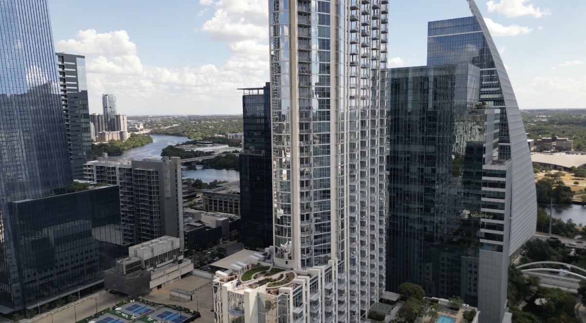
An elevated architectural view that shows the property within its surrounding downtown environment.
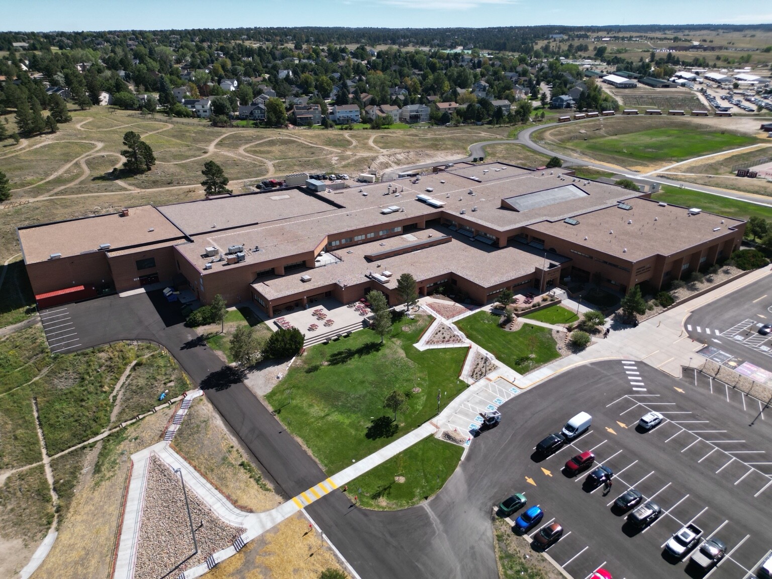
An elevated site view showing the building footprint, roof areas, parking, access routes, and surrounding context.
A centered property view that establishes the full exterior elevation.
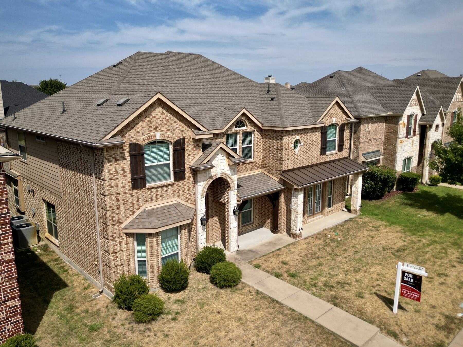
A three-quarter angle that shows depth, roof form, and exterior features.
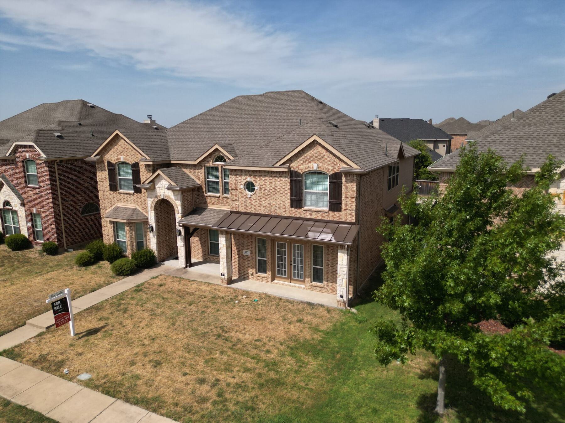
A wider view that places the property within its immediate surroundings.
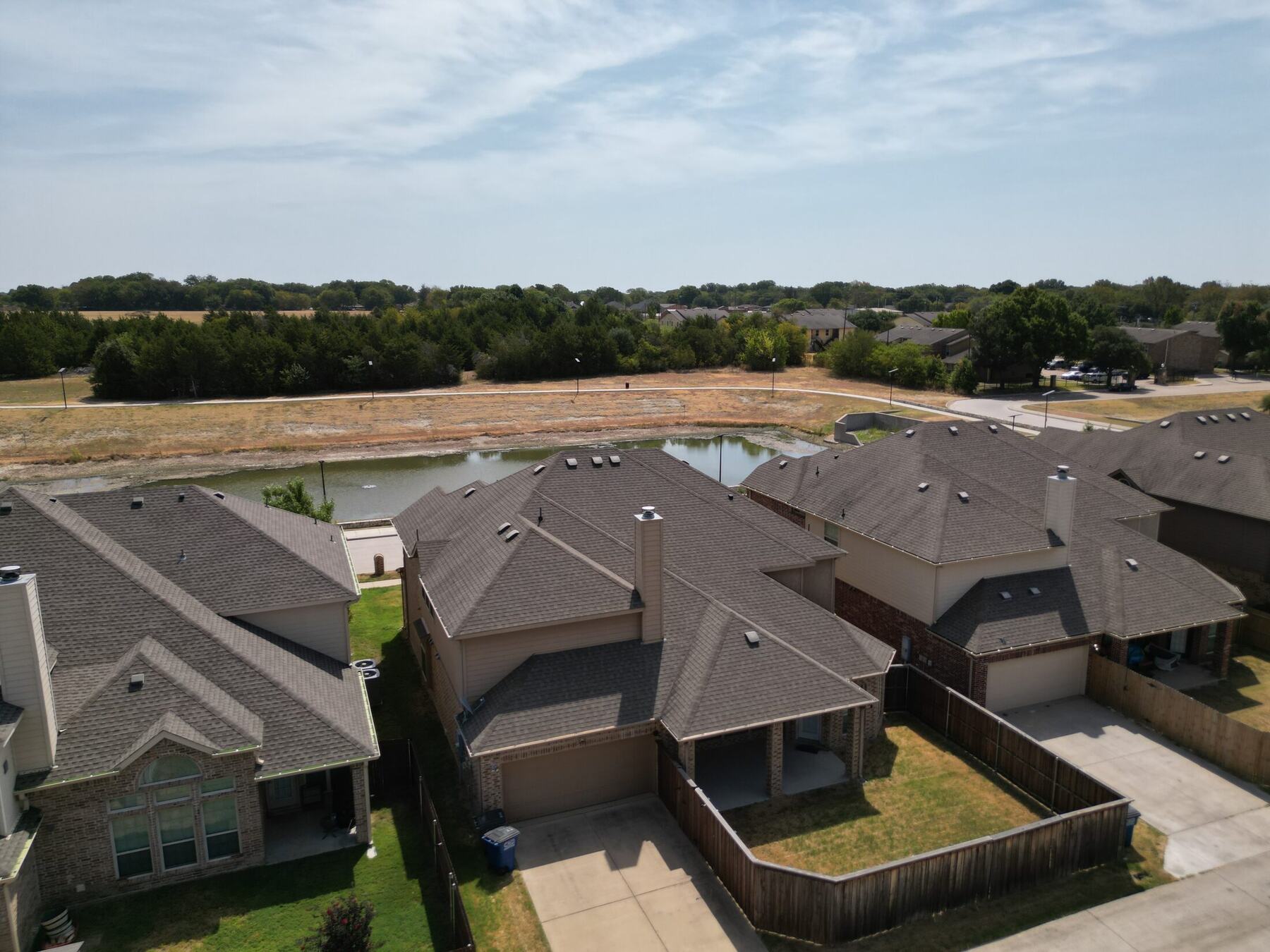
Context coverage that helps viewers understand the surrounding area.
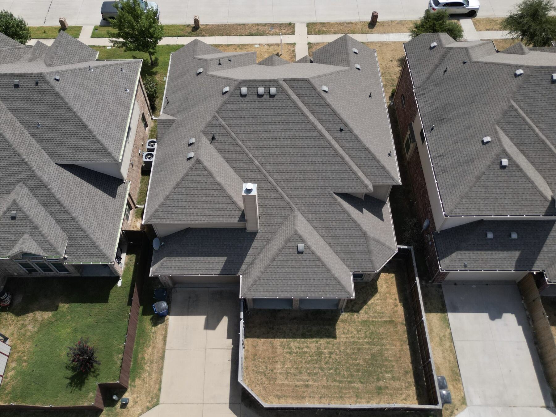
A straight-down visual record of visible roof areas and hard-to-reach surfaces.
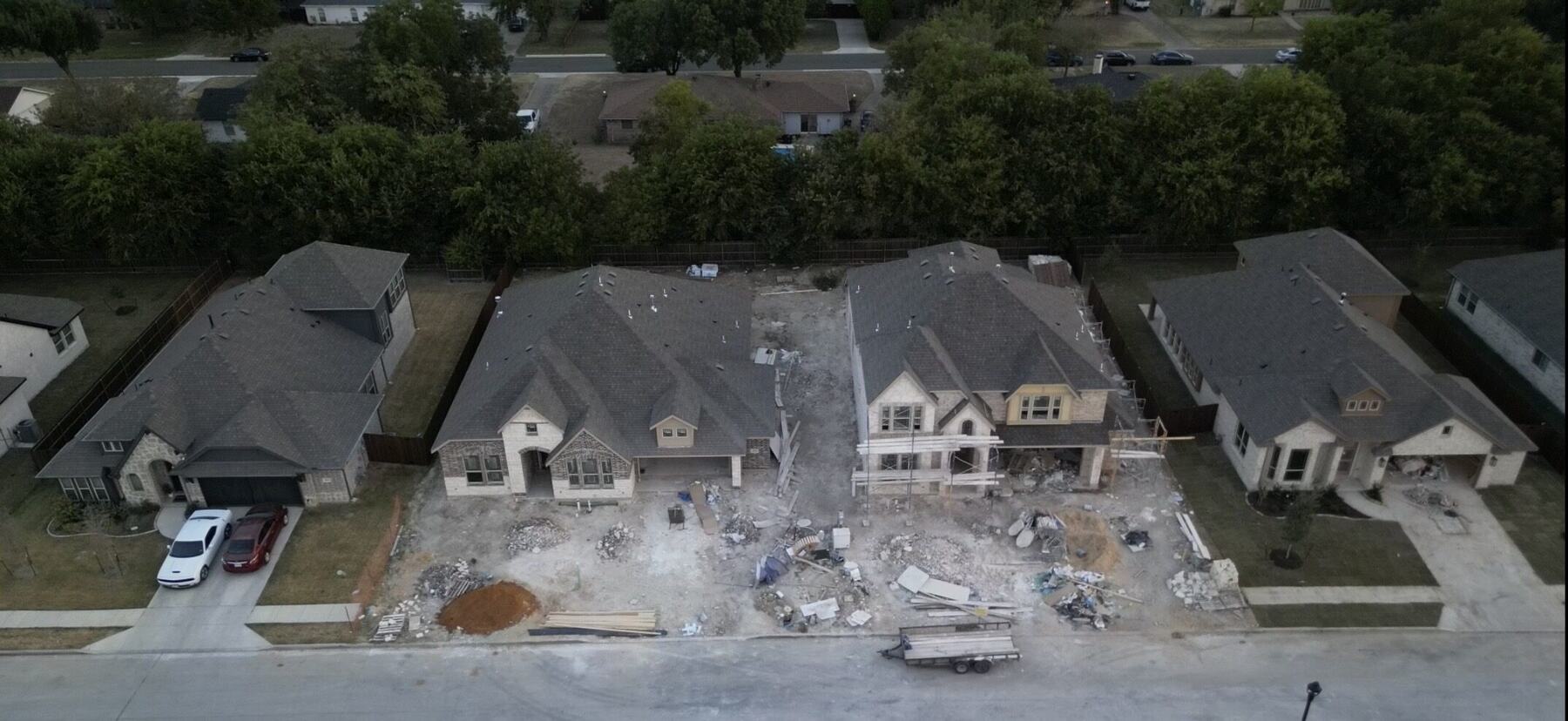
A broad site view captured to record visible progress and current conditions.
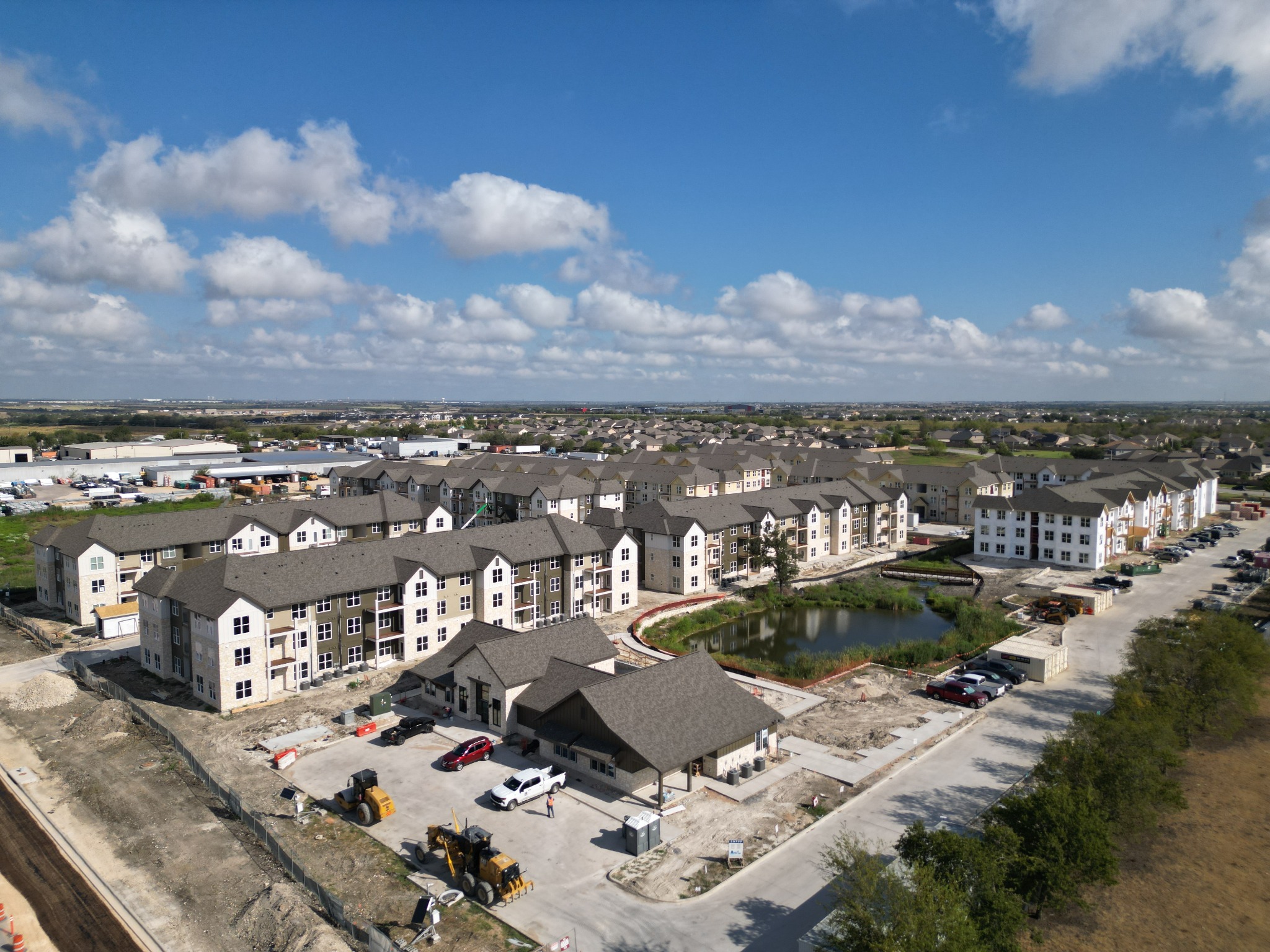
A broad elevated view that records the development, surrounding context, and site conditions in one frame.
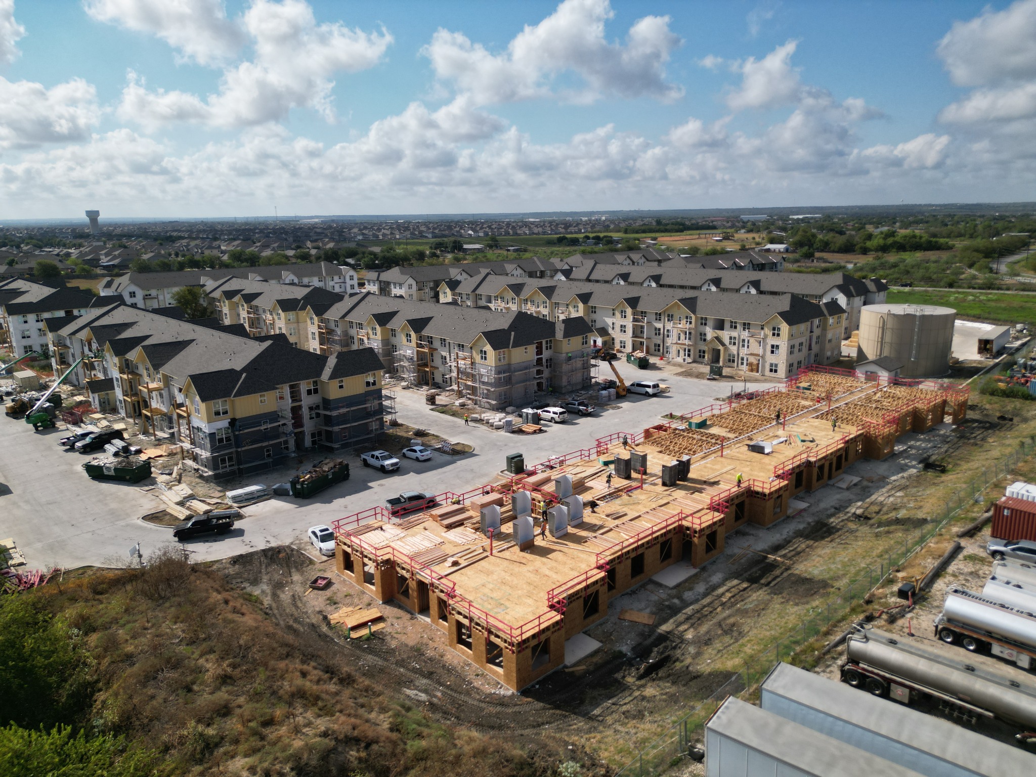
A focused progress view that shows active framing work alongside completed and in-progress buildings.
Aerial video
Short aerial clips can establish the property, show surrounding context, or record visible construction conditions. The examples below are excerpts, not complete edited videos.
A short architectural reveal showing building elevation and surrounding property context.
A short excerpt showing exterior approach, elevation, and neighborhood context.
A short top-down excerpt documenting active residential construction and surrounding site conditions.
Additional deliverables
Interactive 360° Virtual Tours, orthomosaic mapping, and 3D site work are scoped around the needs of each property or project. Request a quote to discuss the right workflow and deliverables.
Discuss Your ProjectNavigable interior experiences are delivered through a direct web link for easy access, sharing, and remote review.
Orthomosaic and 3D site documentation can support clearer site context, review, and progress visibility.
Share the property or project address, intended use, and target date for a custom recommendation and quote.